
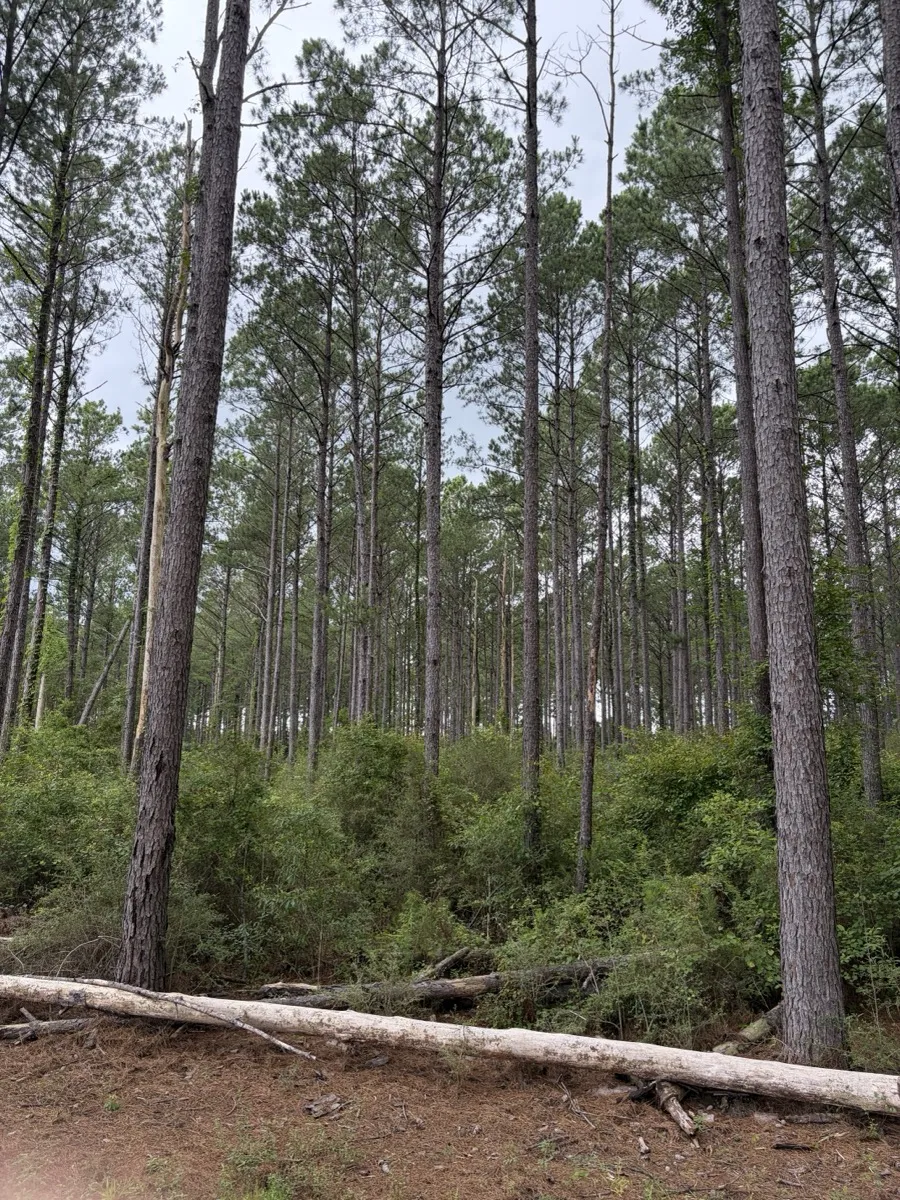
Can you clear land near wetlands in Alabama?
Yes, but the wetland line decides everything. The uplands on a parcel can be cleared normally; the wetland itself is protected by federal law, and discharging fill into it without Corps of Engineers authorization is the fastest way to turn a land project into a legal one. Baldwin County adds its own non-disturbed setbacks around wetlands and streams.
On coastal ground this is not a niche question. Baldwin and Mobile County parcels run wet - bay margins, creek branches, pitcher-plant flats, low pine ground that holds water - and a big share of our land clearing walk-throughs include the sentence “now, that low corner over there.” Here is how the rules actually work and how careful landowners stay on the right side of them.
Who protects what?
| Layer | Rule | What it means on your parcel |
|---|---|---|
| Federal (Corps of Engineers) | Clean Water Act Section 404 | No dredged or fill material into wetlands without authorization; minor impacts may fit nationwide permits; mitigation typically required for permanent losses over 0.1 acre |
| State (ADEM) | Water quality certification + stormwater rules | State sign-off rides with federal permits; construction stormwater rules apply to the disturbance around the work |
| Baldwin County | Zoning ordinance wetland setbacks | Non-disturbed setbacks around wetlands and streams in zoned districts; no wetland fill without county variance plus state and federal permits |
The federal layer is the one with teeth. The Corps reviews Alabama applications with a target of about sixty days and openly encourages pre-application meetings, which tells you the system rewards asking first. The county layer is the one people trip over locally, because the setback exists even where the wetland itself never gets touched.
How do you find the wet line before the machines do?
Screen first, then flag. Baldwin County points landowners to its own online parcel viewer to check for wetlands and streams, and the national wetlands inventory gives a second screening view. Those maps are indicators, not verdicts - the binding answer on a borderline parcel is a wetland delineation by a qualified professional, which stakes the actual line the Corps will honor.
On the ground, the tells are the ones every South Alabama landowner half-knows already: ground that squishes in a dry week, cypress or gum in the timber mix, pitcher plants, water stains on the trunks. When a walk-through shows those, we say so plainly, because clearing plans built on hope do not survive inspection.
What does a smart clearing plan look like on a wet-edged parcel?
Work the dry side hard and respect the line. The buildable uplands get cleared, grubbed, and graded normally, with the erosion controls that keep sediment out of the low ground - silt fence between disturbance and water is not decoration, it is the whole point. The wetland edge gets treated as a boundary: mulching can run right up to a flagged line and stop, which is one of the method’s quiet advantages, since it works clean without pushing soil around.
Where a project genuinely needs to touch the wet - a driveway crossing, a fill section, a pond tie-in - that is a permit conversation before it is an equipment conversation, and the streamlined nationwide permits exist for exactly the minor versions of it. The order of operations is the entire game: authorization, then dirt.
The honest bottom line
Wetland rules are not a reason to abandon a wet-edged parcel; nearly every one has generous buildable ground once the line is known. They are a reason to know the line before anything runs. Checking costs minutes, delineation costs modestly, and both are rounding errors against what an enforcement case costs.
If your parcel has a low corner and a plan, start with a walk-through: we will tell you what reads dry, what reads wet, and what the honest sequence looks like. Call (251) 747-7839 any hour, or use the contact page. Better to have that talk in your field than in a hearing room.